“There is not a finer county in England than Derbyshire,” wrote Jane Austen in her beloved novel Pride and Prejudice. Yet, what value does that splendid beauty hold if one is unable to take the barouche to the Duke’s summer ball due to the council’s inability to repair the roads? This is the predicament faced by the residents of High Peak, the picturesque area nestled in the north-west of Derbyshire, sandwiched between South Yorkshire and Greater Manchester. It resembles a petty officer rudely pushing his way between two would-be lovers who’ve been eyeing each other across the canapés. (Look at a map, and you’ll see what I mean.)
High Peak boasts a wealth of natural wonders, including semi-precious Blue John stone, the iconic Mam Tor, and the renowned Buxton opera house. However, it is also home to the notorious Snake Pass, which winds through the hills like a torn silk scarf, proving just as costly to maintain.
Snake Pass, more officially known as the A57, was constructed in the 1820s, funded by the Duke of Norfolk and the Duke of Devonshire. Interestingly, the latter’s residence, Chatsworth House, served as the inspiration for Mr. Darcy’s Pemberley in Austen’s work. Fast forward two centuries, and the responsibility for maintaining this treacherous road has shifted to Derbyshire County Council. The financial demands of this task have become so overwhelming that the council is contemplating withdrawing from the responsibility altogether.
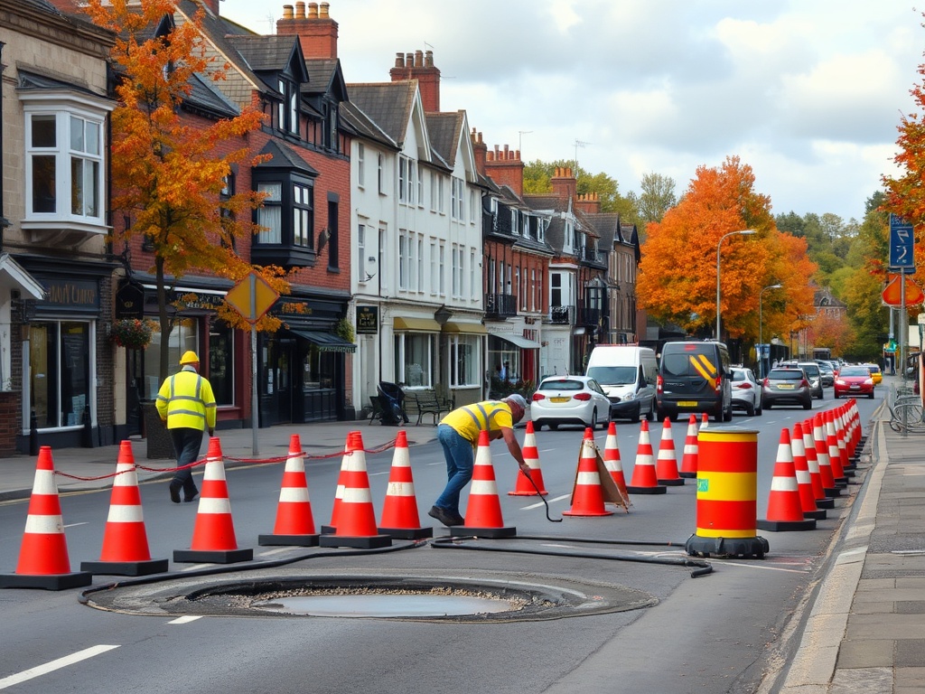
If you’ve ever tuned into a radio travel bulletin, you’ll likely be familiar with Snake Pass. Its susceptibility to landslips, floods, and overly ambitious motorcyclists leads to an average of 70 days of closures each year. Restoring a section of tarmac that frequently gets buried under 500 tonnes of mountainside is no inexpensive endeavor. Consequently, Derbyshire council has politely suggested that, since Snake Pass is primarily utilized by residents of the two major cities it connects—Manchester (which is geographically closer) and Sheffield—perhaps those cities should contribute to its upkeep.
This proposal could potentially result in the 90,000 residents of High Peak being administratively reassigned from Derbyshire to Greater Manchester. “We like the name Derbyshire, but ultimately all our connections are into the North, not into the East Midlands,” remarked High Peak’s MP Jon Pearce in an interview with The i Paper.
Determining where the Midlands end and the North begins is akin to attempting to land on the gas giant Jupiter—there are no exact boundaries; you simply find yourself in one or the other. A Wikipedia page dedicated to the “north midlands” explains that it essentially encompasses Derbyshire, Nottinghamshire, and the fictional town of Brumley from JB Priestley’s An Inspector Calls. However, this shifting regional identity is not solely tied to one poorly maintained road.
Coincidentally, the discussions surrounding High Peak’s potential reclassification are occurring simultaneously with local government reforms spearheaded by Angela Rayner. This scenario exemplifies the broader nationwide trend of changing connections between our counties, regions, and their inhabitants.
Take, for instance, England’s smallest county, Rutland, which was absorbed into Leicestershire in 1974, re-established in 1997, and now faces the prospect of disappearing once again. The emergence of “mega-councils” aimed at merging district councils with county ones is reshaping the landscape. These unitary authorities are designed to encompass populations of around 500,000, and with Rutland’s mere 41,000 residents, it stands little chance of meeting that threshold. Consequently, a larger entity may take its place, potentially ensuring residents know who is responsible for their waste collection, while simultaneously stripping away the essence of what made Rutland unique.
Read Next
- Bus-spotters are unsung heroes – let me explain
Does this matter? After all, since the dawn of the industrial revolution, towns and cities have largely defined our local identities rather than counties. It is peculiar to observe a map of historic counties, where the sprawling urbanity of Birmingham is merely a village in Warwickshire, or Liverpool is just a minor port in Lancashire.
Anyone hailing from a lesser-known place will often say it is “not far from…” and then name the closest location with a Football League club. Moreover, counties can be manipulated at the stroke of a bureaucratic pen. The reforms of 1974 gave rise to Cleveland, Avon, and Humberside—names that have become the Betamax of local bureaucratic reorganization, remembered only in residual police forces and lyrics by The Smiths.
On the flip side, counties—particularly our historic ones—are the very bedrock of the nation. They provide hard boundaries; one cannot claim to be from “the outskirts of Worcestershire”—it is a defined territory. Yet, those boundaries are inherently porous; crossing from one to another requires no passport. In this regard, they foster a readily accessible sense of pride and identity devoid of some of the negative associations that can accompany such sentiments.
However, the risk of these reforms looms large: detaching councils from counties may strip away yet another facet of their identity, leaving behind a mere handful of cricket clubs as the last vestiges of county life in Britain. And that, I believe, is a true loss.
Ultimately, all the county pride in the world will not fill a single pothole.