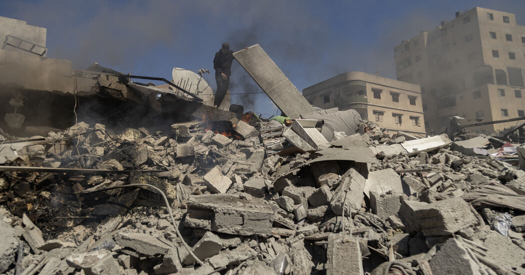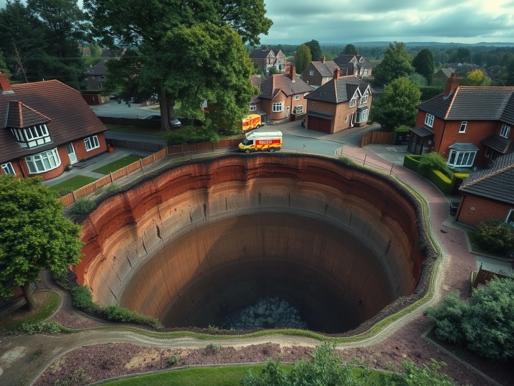
Recently, a series of sinkholes emerged in the quaint village of Godstone, Surrey, leading to the closure of the high street and the evacuation of local residents. The first sinkhole, measuring an impressive 65 feet in length and 20 feet in width, appeared suddenly on Monday night, prompting Surrey County Council to declare a major incident. By Wednesday, a second, smaller sinkhole had formed nearby, with alarming images capturing a car precariously teetering on the brink of falling in.
Due to concerns over possible explosions from exposed cables resulting from the collapsed roadway, residents in the vicinity have been evacuated from 30 properties. Many of those affected are uncertain about when they will be able to return to their homes, with some experiencing disruptions in their water supply due to a burst main within the sinkhole itself.
What are sinkholes and how do they form?
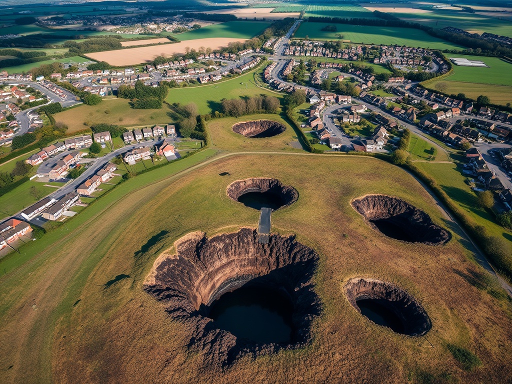
Sinkholes are substantial depressions that appear in the ground when the underlying rock or soil collapses, is eroded by water, or is otherwise compromised. Typically, these formations range from 5 to 10 meters in depth, but they can extend beyond 50 meters in extreme cases. The formation of sinkholes is primarily due to the dissolution of soluble rock by acidic rainfall or groundwater, which destabilizes the overlying ground.
Several factors can trigger sinkhole formation, including:
- Heavy rainfall and surface flooding, which can saturate the ground and destabilize underground cavities.
- Drought conditions that may lead to ground subsidence.
- Human activities such as mining, burst water mains, and construction, which can disrupt surface drainage and alter the load that the ground must support.
Which areas are more prone to sinkholes?
Certain regions in the UK are more susceptible to sinkholes, particularly:
- The Mendips
- Parts of Wales
- The Peak District
- The northern Pennines
These areas are primarily composed of carboniferous limestone, a durable sedimentary rock rich in calcium carbonate. Additionally, regions in Dorset, Hampshire, and the Chilterns, characterized by clay and sand overlaying chalk, are also vulnerable. The most significant sinkhole hotspot in Britain is around Ripon in North Yorkshire, where the ground is underlain by gypsum, a soft mineral that dissolves more readily than limestone.
An aerial photograph taken on February 19, 2025, captures the sinkhole in Godstone, showcasing the extent of the damage.
Why did the Godstone sinkhole appear?
The ground beneath Godstone conceals a complex network of tunnels and abandoned sand mines that date back to the 17th century. Local residents have speculated that the sinkhole’s emergence was triggered by the collapse of a sand mine situated beneath the high street, though there are no official records confirming its existence.
Geologists note that Godstone sits within a geology that is especially prone to landslips. The area is predominantly composed of a landslip formation known as Lower Green Sand, which consists of coarse-grained sands and loosely cemented sandstones. Dr. Andrew Farrant, a regional geologist from the Southeast England British Geological Society, stated, “It is probable that a burst water main has flushed out weak sandstone bedrock, creating a void that eventually collapsed.” He added that it is difficult to determine the precise cause without further investigation.
According to Dr. Farrant, historical maps indicate there once was a sand quarry near the site of the sinkhole, but it has since been built over and filled in. Additionally, he mentioned that there are two other old mines with entrances located to the south of the sinkhole, on the eastern side of the road. He did not dismiss the possibility of a cave collapse contributing to the sinkhole, as there may be undocumented sand mines in the vicinity.
Geologist Dougal Jerram emphasized that the local geological composition is a significant factor in the occurrence of sinkholes. He remarked, “The geology around the area is dominated by the Lower Green Sand formation, which is particularly susceptible to landslips. If the rocks remain stable, everything is fine. However, in this case, something has likely caused the destabilization of unconsolidated materials.”
Dr. Phil Collins, deputy dean at Brunel University’s College of Engineering, Design & Physical Sciences, concurred, suggesting that soil movement due to the burst water pipe was a contributing factor. He explained, “Sand can be strong when compacted but becomes weak when saturated, especially under pressure. The burst pipe would have introduced a large volume of water into the soil quickly, weakening it and creating a slurry that could be washed away.”
While the exact reason for the rupture of the mains pipe remains unclear, possibilities include soil movement that caused the pipe to deform, or a structural failure within the pipe or a nearby sewer. Dr. Collins noted that the movement of soil caused by the burst main could potentially affect nearby sewer systems, leading to further complications.
Mr. Jerram supported this view, positing, “It’s likely there was a small collapse that disrupted the pipe. As more water infiltrated, the process of sand removal accelerated. This situation is indeed concerning.”