Cold Weather Alert: A Sudden Shift in Temperatures Expected
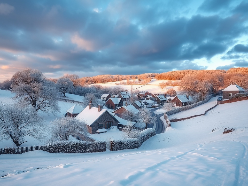
Next week, temperatures are forecasted to plunge below zero as the Met Office cautions about a potential weather event that could mirror the infamous ‘Beast from the East’ of 2018. After enjoying a taste of early spring with temperatures soaring to an unseasonably warm 17°C to 19°C across the UK over the weekend, a dramatic change is on the horizon.
On Sunday, areas such as London, the Home Counties, the South-West Midlands, East Wales, Cumbria, and North Lancashire basked in the highest temperatures of the day. This followed Saturday’s record, where Bridgefoot, England, reported a high of 19.1°C. Meanwhile, Scotland’s Threave reached 18.3°C, and Castlederg in Northern Ireland recorded a high of 17°C. Notably, these temperatures even surpassed those in popular warm destinations like Marbella and the Amalfi Coast, highlighting just how unusually warm it has been.
However, the Met Office warns that wintry conditions are likely to return starting Monday. Meteorologist Kathryn Chalk explained that a weather phenomenon known as a polar vortex collapse could lead to a period of significantly colder temperatures across the country. “Many of us have enjoyed a spell of warm spring sunshine, but a change is indeed on the way,” she cautioned.
The anticipated cold front, originating from the northern parts of Scotland, will gradually drift southwards, bringing with it much colder air than what we’ve recently experienced. This shift is also expected to accompany a wave of rain, particularly affecting Scotland and northern England with wintry showers.
On social media, the Met Office shared a snapshot of the pleasant weather across the UK, noting that while sunshine will prevail, hazy conditions may also be observed in some areas. They noted:
- The far north of Scotland will continue to see rain, with isolated showers possible in the far southwest of England.
- For many regions, the weather will feel pleasantly warm in the sunshine, especially away from the east coast.
By Tuesday, brisk conditions are predicted to take hold, bringing daytime maximum temperatures down to between 5°C and 8°C. Some rural areas in Scotland could even experience overnight lows of -4°C. Chris Bulmer, the Met Office’s deputy chief meteorologist, stated that “a return to overnight frosts” is likely for many regions, although any snow accumulations will probably be confined to hilly areas.
Despite some uncertainty regarding the extent of rainfall and wintry showers throughout the middle of the week, there is growing confidence that below-average temperatures will persist, offering a stark contrast to the mild weather enjoyed over the weekend.
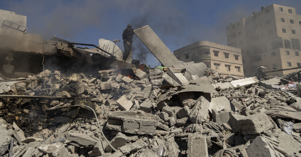
The ‘Beast from the East’ of 2018 brought severe freezing conditions, heavy snowfall, and significant disruptions across the UK, resulting in 17 tragic fatalities. Professor Adam Scaife, head of long-range forecasting at the Met Office, indicated that there is now over an 80% chance of a sudden stratospheric warming (SSW) event occurring by mid-March, which could have considerable implications for the UK’s weather later in the month. “The nature of these impacts will become clearer as we approach the date,” he remarked.
What is a Polar Vortex Collapse?
Each winter, strong westerly winds circulate around the North Pole in the stratosphere, creating what is known as the stratospheric polar vortex. This phenomenon keeps cold air contained over the Arctic region. Occasionally, however, these winds may weaken or even reverse direction, shifting to flow from east to west. This alteration allows cold air to plunge downwards rapidly within the polar vortex, causing stratospheric temperatures to spike by as much as 50°C.
As the cold air descends from the stratosphere, it can modify the jet stream’s shape and behavior. This transformation occurs at such high altitudes that we do not immediately feel its effects. Instead, the resultant changes in the jet stream can lead to significant alterations in weather patterns, including severe drops in temperature and snowfall similar to what was experienced during the ‘Beast from the East’.
It’s worth noting that while the potential for severe cold and snow often accompanies an SSW event, the specific outcomes will only become evident in the following weeks as forecasters monitor the situation closely.